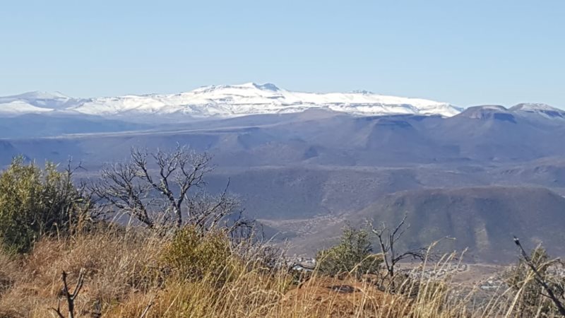
GRAAFF-REINET NEWS - According to Snow Report SA, the weather forecast for the end of this week, predicting snow for Graaff-Reinet’s surrounds, remains largely valid.
The report reads, “The cold front made landfall in the Western Cape yesterday, and we suspect that there is already light snow across most of the high peaks in the Cedarberg and the HexRiver Mountains this morning.”
The report further states that by Thursday night and into Friday morning, as the front moves east, snow should be impacting further into the Eastern Cape from Graaff-Reinet through to Somerset East and then to Hogsback.
“As we look at the data for Saturday, we are currently seeing potentially heavier falls in the southern high ground of the Northern Cape, with some heavier falls also possible in the Eastern Cape areas like Steynsberg, Molteno and Nieu-Bethesda during the morning. As Saturday progresses, snowfalls seem possible still in the Eastern Cape areas. By Saturday evening, snowfalls will start tailing off in the central areas of the Eastern Cape and move further east into the Eastern Cape Drakensberg again.”
The report concludes by stating that the predictions for Saturday and Sunday are 'advanced', and as such, they could easily change over the course of the next few days, but that they would keep an eye on this system, and will give an update again if there are significant changes to the forecast.
Read a previous article: Possibility of snow this week
'We bring you the latest Graaff-Reinet, Karoo news'