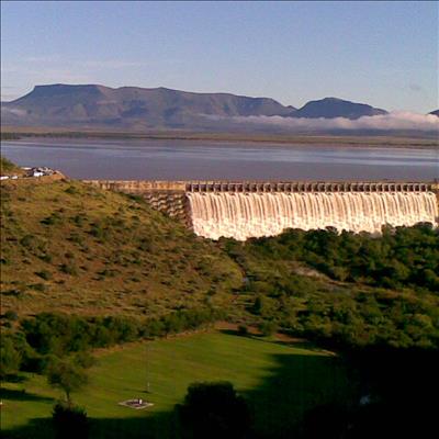
GRAAFF-REINET NEWS – While the water level of the Nqweba Dam is currently very low, we thought our readers might appreciate these photos of the Nqweba Dam taken in 2008.
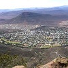
The dam lies within the Camdeboo National Park, a short distance from Graaff-Reinet.
Formerly known as the Van Ryneveld's Pass Dam, the Nqweba Dam – meaning ‘meeting place’ - covers approximately 1 000 hectares at its fullest. Construction began in 1921 in 1921 and was completed in 1925 - the costs of the entire project amounted to approximately 450 000 pounds.
The dam is fed by the Sundays River and Gatsrivier and forms the Lower Sundays River, which runs around the town‘s historic centre.
The Nqweba Dam – which lies above the town of Graaff-Reinet - caused devastating floods in 1974 when it overflowed.
In 2008 it overflowed again briefly and mildly – causing no damage.
Three years later, in 2011, it overflowed yet again when the dam’s level rose to 116% capacity – its highest level since the 1974 floods – following weeks of rain in the area.
The dam overflowed continuously for 10 weeks.
In 2012 the dam overflowed again – this time for months on end. It hasn’t overflowed since.
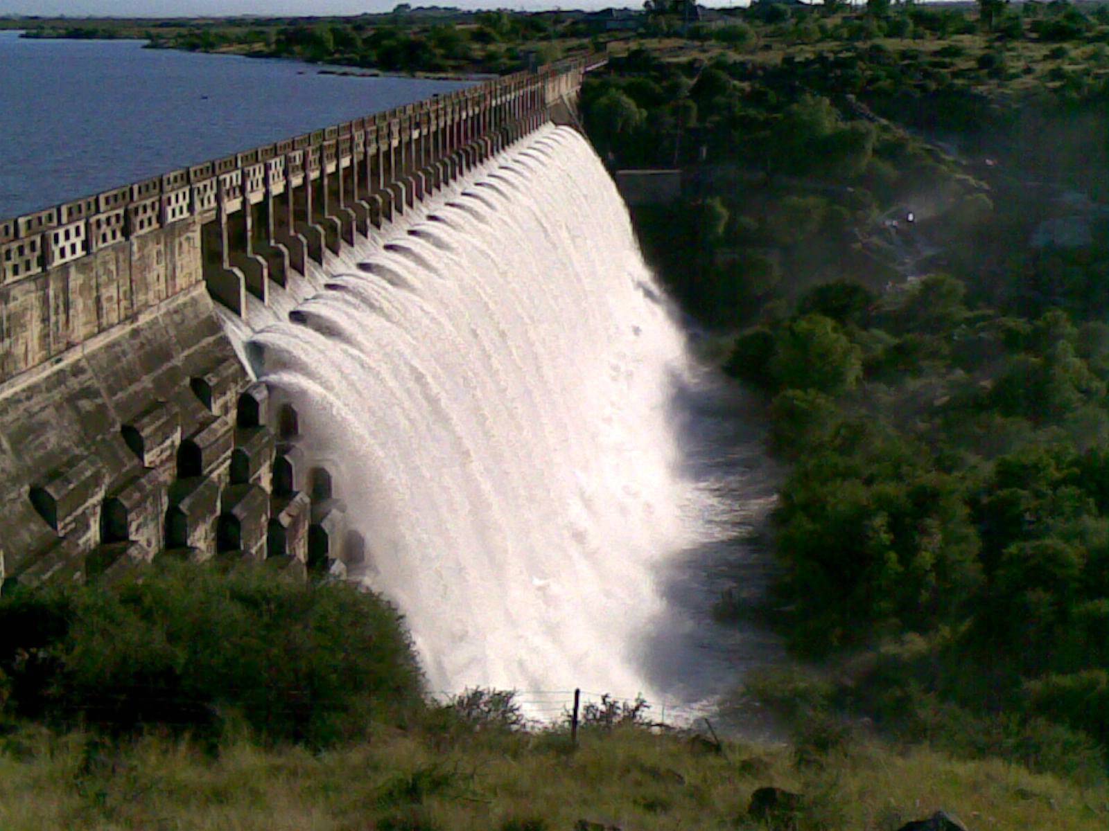
Another photo of the dam in 2008.
'We bring you the latest Graaff-Reinet, Karoo news'