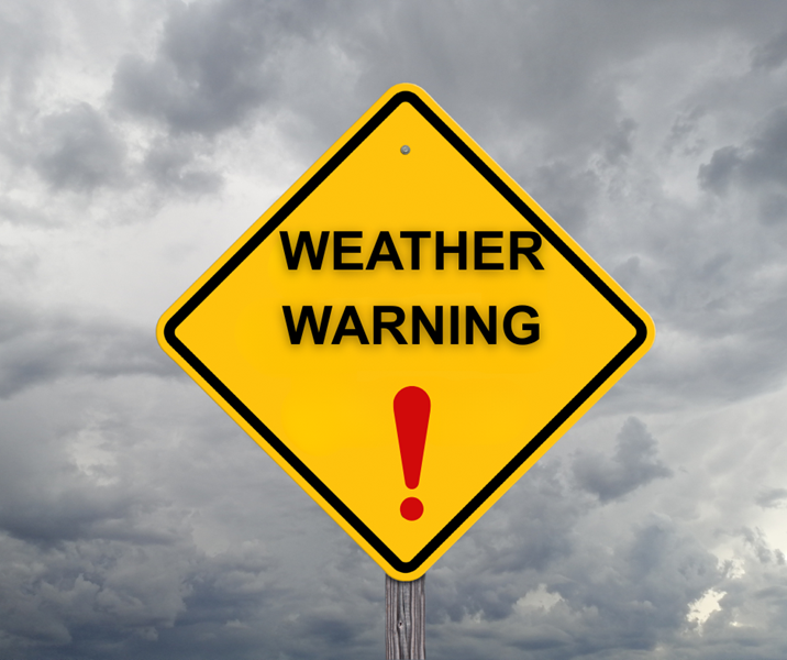
GARDEN ROUTE | KAROO NEWS - The South African Weather Service has issued yellow level 1 warnings for wind and damaging waves.
This comes as a result of a cold front expected over the south-western parts of the Western Cape on Monday morning.
SAWS warns of large unpredictable waves along the coast from Monday until Wednesday, and also of strong northerly to north-westerly winds over the southern interior of Namakwa and the Central Karoo district on Monday.
"A cold front is expected to make landfall over the south-western parts of the Western Cape on Monday morning with a secondary front in the evening, resulting in heavy south-westerly swell of 4.0 to 5.0m and a period of 15s between Saldanha Bay and Cape Agulhas from Monday evening, spreading to Alexander Bay and Plettenberg Bay from Tuesday morning, while reaching 5.5m south of Saldanha Bay. These conditions will result in disruptions to beachfront activities such as people being swept off rocks."

"A cold front is expected to make landfall over the south-western parts of the Western Cape on Monday morning with a cut-off low further south-west of the country. This will result in strong northerly to north-westerly winds (40-50 km/h, gusting 70-90 km/h) over the southern interior of Namakwa (N. Cape) and over the Central Karoo district from the morning into the evening."

‘We bring you the latest Garden Route, Hessequa, Karoo news’