NATIONAL NEWS - A strong cold front is expected to reach the Western Cape tomorrow evening, Friday 7 July, spreading eastwards.
The SA Weather Service says the cold front is expected to result in showers and rain as well as strong winds, cold temperatures, damaging waves and even some snow.
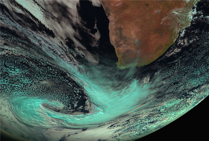
The cold front, currently situated to the south-west of South Africa, is expected to bring rain from Friday afternoon in the south-western parts of the Western Cape, spreading to the Northern and Eastern Cape on Saturday, reaching the eastern parts of both KwaZulu-Natal and Mpumalanga by Sunday.
A significant drop in temperature is expected over the extreme western parts of the country on Friday, spreading eastwards on Saturday.
These cold to very cold temperatures will reach the eastern parts of the country by Sunday.
Snowfall
Along with the drop in temperatures, is the possibility of snowfall in the high lying areas over southern Namakwa and the interior of the Western Cape overnight on Friday, spreading to the mountains in the Eastern Cape and southern Drakensberg by Monday. Disruptive snowfall is possible in places.
Gale force wind
SAWS says strong winds will also accompany this front across the interior of South Africa this weekend, reaching near gale force along the coast. Damaging waves are expected along the south-west coast on Friday evening, spreading eastwards.
The following alerts have been issued:
Yellow level 2: Wind over the interior: strong to near gale force (50 to 70 km/h gusting 80 km/h) north-westerly winds are expected over the interior of the Western Cape (eastern parts of the Cape Winelands and Central Karoo) and Southern Namakwa.
Yellow level 2: Damaging waves: The wave heights are expected to increase to 5-7 m from Friday evening between Saldanha Bay and Cape Agulhas, then spreading along the west and south coast on Saturday, reaching Port Edward on Sunday.
Orange Level 5: Damaging winds that could result in damage to settlements, properties and temporary infrastructure are expected over Sarah Baartman District Municipality and the western parts of the Chris Hani District Municipality on Friday and Saturday.
Yellow Level 4: Damaging winds that could result in damage to settlements, properties and temporary infrastructure are expected over Joe Gqabi DM, the eastern parts of Chris Hani DM, Amahlathi LM and Raymond Mhlaba Local Municipalities on Friday and Saturday.
Orange Level 6: Disruptive snow that could result in major mountain passes closed, isolate communities and loss of livestock is expected over Chris Hani, Joe Gqabi District Municipalities, Matatiele, Umzimvubu, Raymond Mhlaba and Dr. Beyers Naude (Graaf Reinet) Local Municipalities on Sunday and Monday.
High fire risk
Extremely high fire danger conditions are expected over the Sarah Baartman, Chris Hani and Joe Gqabi DMs as well as the Nelson Mandela Bay Metro on Friday.
Die Suid-Afrikaanse Weerdiens het gewaarsku dat daar môre, 7 Julie, 'n moontlikheid van veldbrande in onder meer die Oudtshoorn- en Kannaland-omgewing kan ontstaan. Die waarskuwing is geldig vanaf 08:00 tot 20:00.
Volg die skakel vir meer inligting.
'We bring you the latest Garden Route, Hessequa, Karoo news'