GARDEN ROUTE | KAROO NEWS - Extremely high fire danger conditions are expected today, Thursday 21 August, over the extreme north-eastern parts of the Northern Cape, western parts of the North West, north-eastern and central Free State, central Eastern Cape, northern KwaZulu Natal, as well as southern Limpopo and southern Lowveld of Mpumalanga, according to the South African Weather Service.
Yellow level 2 warning:
Rough seas leading to possible localised damage to coastal infrastructure are expected between Lambert's Bay and Plettenberg Bay from Friday night spreading
to Alexander Bay by Saturday evening and persisting on Sunday.

Regional weather forecast for Thursday 21 August:
Western Cape
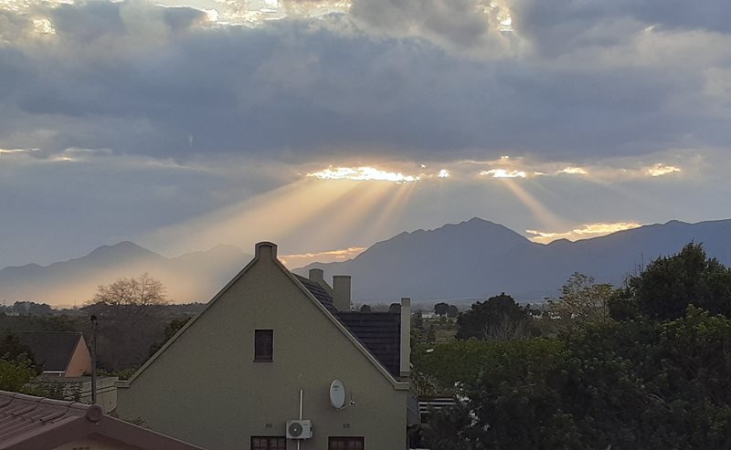
Partly cloudy and cold to cool with isolated showers and rain over the south western parts until the afternoon. It will become fine along the south coast from the evening. The wind along the coast will be moderate to fresh north-westerly to westerly but strong along the south coast until the afternoon and along the south-west coast from the evening. The expected UVB sunburn index: Low
Western half of the Eastern Cape
Morning fog in places over the interior, otherwise fine and cold to cool, but cloudy with light rain in places west of Jeffreys Bay. It will become partly cloudy in the afternoon. The wind along the coast will be moderate to fresh south-westerly, reaching strong in places until the evening.
Eastern half of the Eastern Cape
Cloudy in places along the Wild Coast in the morning, otherwise fine and cool, but partly cloudy along the coast from the afternoon. It will become cloudy south of the escarpment from the evening. The wind along the coast will be moderate to fresh south-westerly, reaching strong in places.

Expected temperatures for today:

Extended weather forecast:
Friday

Saturday

‘We bring you the latest Garden Route, Hessequa, Karoo news’