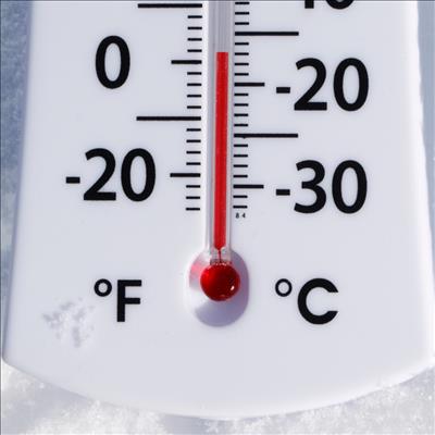
GRAAFF-REINET NEWS – Graaff-Reinetters need to haul out the winter woollies because a cold front (that might be the strongest of the season) bringing rain and snow is expected this coming weekend.
Earlier today, Storm Report SA reported that it is currently monitoring the development of a strong cold front that is due to make landfall over the Western Cape by midday on Saturday, July 15.
According to Storm Report SA, weather models have been showing consistent results over the past two days and suggest moderate rainfall over the Western Cape, Eastern Cape and parts of the Free State, with snow predicted for most of the mountain ranges in the Western Cape, Eastern Cape, KwaZulu-Natal and Lesotho.
Snowfall is expected to start over the Western Cape mountain ranges by Saturday evening - snow will fall throughout the night over most ranges.
A lot of snow is expected over the Matroosberg Mountains near Ceres with up to 25cm expected over its peak. More heavy snow is expected over the Drakenstein Mountains, Cederberg Mountains, Groot Winterhoek Mountains, Hex River Mountains and Hottentots Holland Mountains.
On Sunday, July 16, Storm Report SA expects heavy snow over the Swartberg and Outeniqua Mountains. Moderate snowfall over Sutherland, the mountains around Beaufort West, Graaff-Reinet, Cradock, Hogsback, Queenstown, Middelburg, Barkly East, Rhodes, Lady Grey, Hogsback, Tiffindell, Afriski Mountain Resort, Sani Pass, central Lesotho and the eastern Drakensberg.
Light flurries are predicted for Colesberg, Zastron and Aliwal North.
Storm Report SA however states that this is an advanced forecast and it could change depending on the weather.
'We bring you the latest Graaff-Reinet, Karoo news'